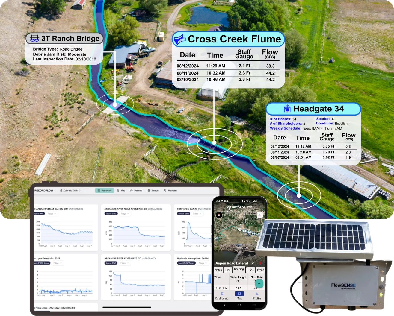
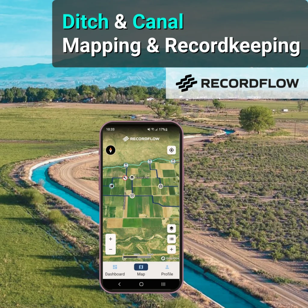
RecordFLOW puts your ditch and canal maps, flume/weir readings, photos and field notes in one place, online or off. Easy to use and secure data – at an affordable price.
Trusted by ditch companies, districts and water professionals
Three principles, every feature
Easy to use
Affordable
Secure
Works offline · No special hardware required
The problem we remove
Built For The Field. Not The Filing Cabinet.
Spend less time recordkeeping, more time managing.
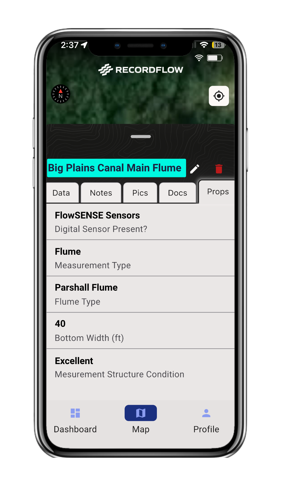
RecordFLOW brings together your flow data, gauge readings, notes, and photo’s to your custom live map and dashboard.
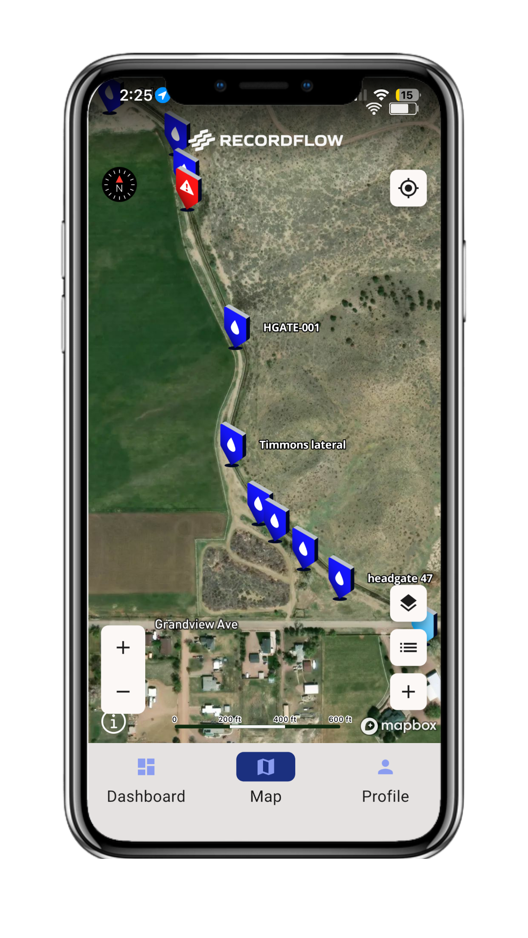
Carry a live map of the ditch in your pocket with your data organized and accessible.
Today
Flume readings in a notebook
Photos on someone's phone
Notes on a napkin
Sensor readings in a different App
The "why" in some person's head
RecordFLOW brings all of this together, organized on a map in your pocket.
With RecordFLOW
One record. Every device. Everyone who needs it.
Return on investment
Pays for itself as soon as you get to work.
Hours spent re-entering notes, hunting for photos and rebuilding spreadsheets add up fast. RecordFLOW replaces that work with one record that is already organized, searchable and shareable.
8.5 hrs
average time saved per week on data entry
Field readings go straight into the record. No nights or weekends typing data.
10 sec
to log a reading from the truck
Tap the asset on the map, enter the number, add a photo if you want. Done, even without signal.
$49/yr
starting price, 7-Day Free Trial
You work hard for your money. We offer affordable plans for those managing on-farm ditches, or up to district-level networks.
priceless
Data designed to protect your water rights
Information that's organized and accessible
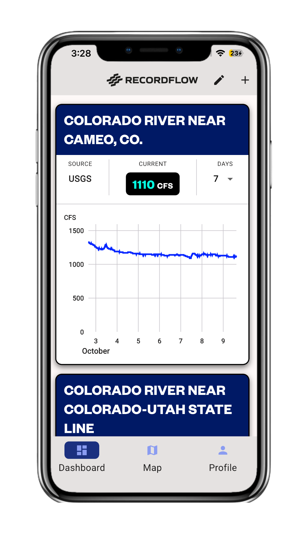
Real-time data that alerts you when conditions change
Blake Osborn · Founder & Water Manager
Why RecordFLOW
Built by water managers. Not tech insiders.
RecordFLOW started with a project to help a single ditch company maximize beneficial water uses with informed decisions. Our founder is a working water manager in Colorado who just couldn’t find the right tool to solve four critical problems: Do we have the rightinformation? Do we have the right tool to do the job efficiently? Can we combine field data, historical records, and decision making into one organized system? Can we capture different types of data, from photos to flow measurements? No tool existed, so we built one.
"At RecordFLOW, we are not a traditional technology company. We know water, and we continue to build the tools we need as water managers"
Draw your ditches, laterals, headgates and measuring points on an interactive map. Build dashboards and custom workflows that match how your system actually runs.
02
Collect
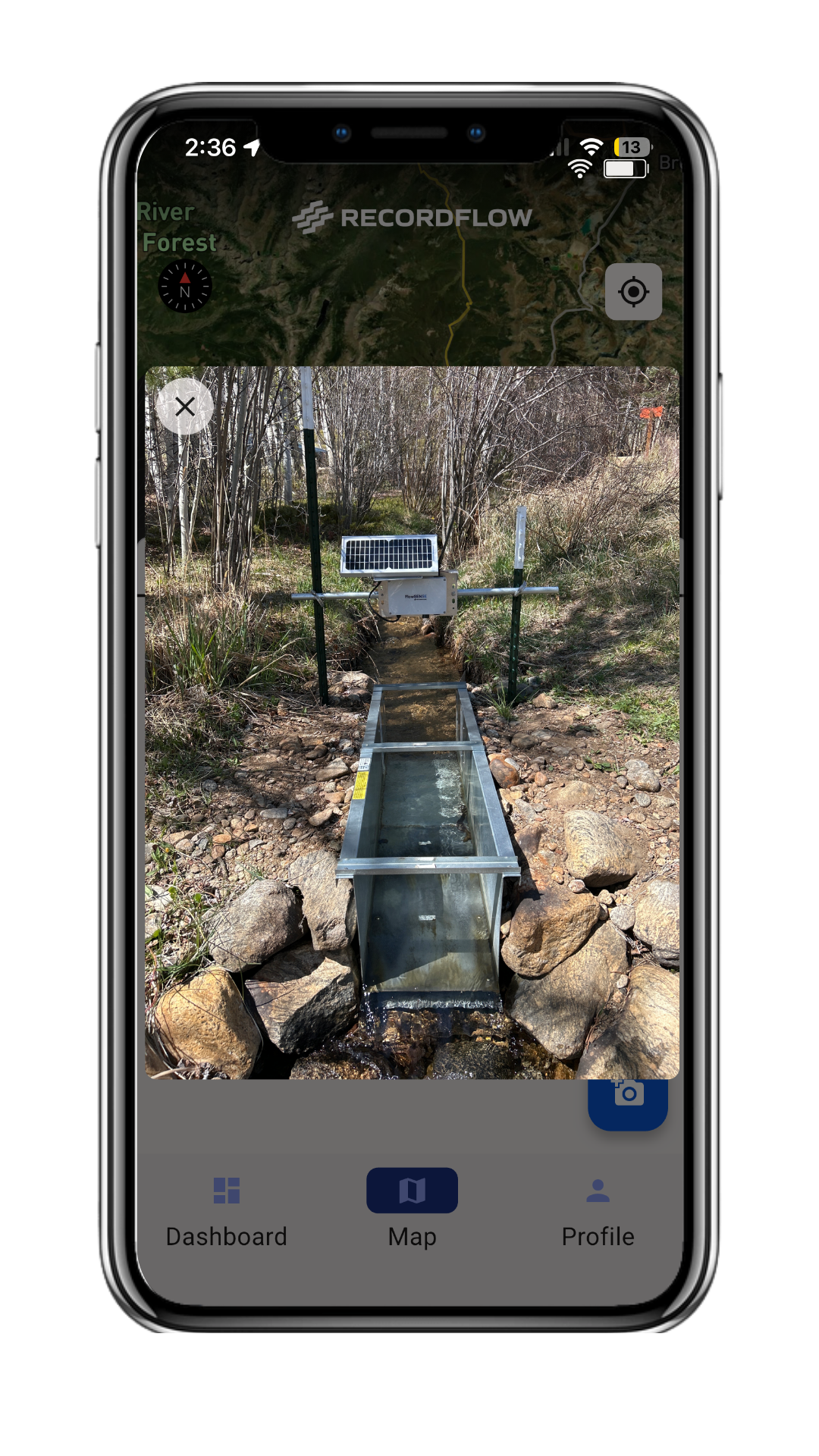
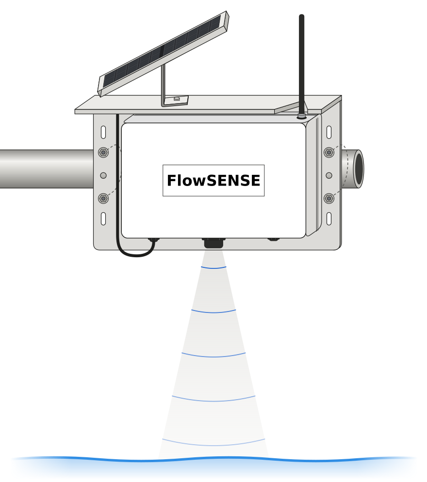
Log gauge readings, gate changes, photos and notes from the field, with or without cell service. Add FlowSENSE sensors for readings that arrive on their own.
03
Connect
Your data is always a click away for the people who need it: ditch riders in the truck, the board at the meeting, shareholders asking about their water.
04
Control
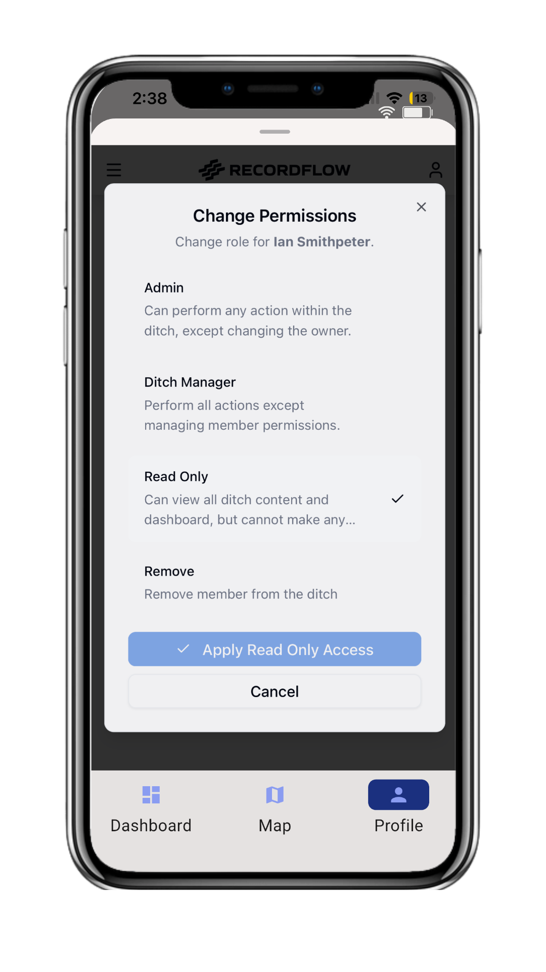
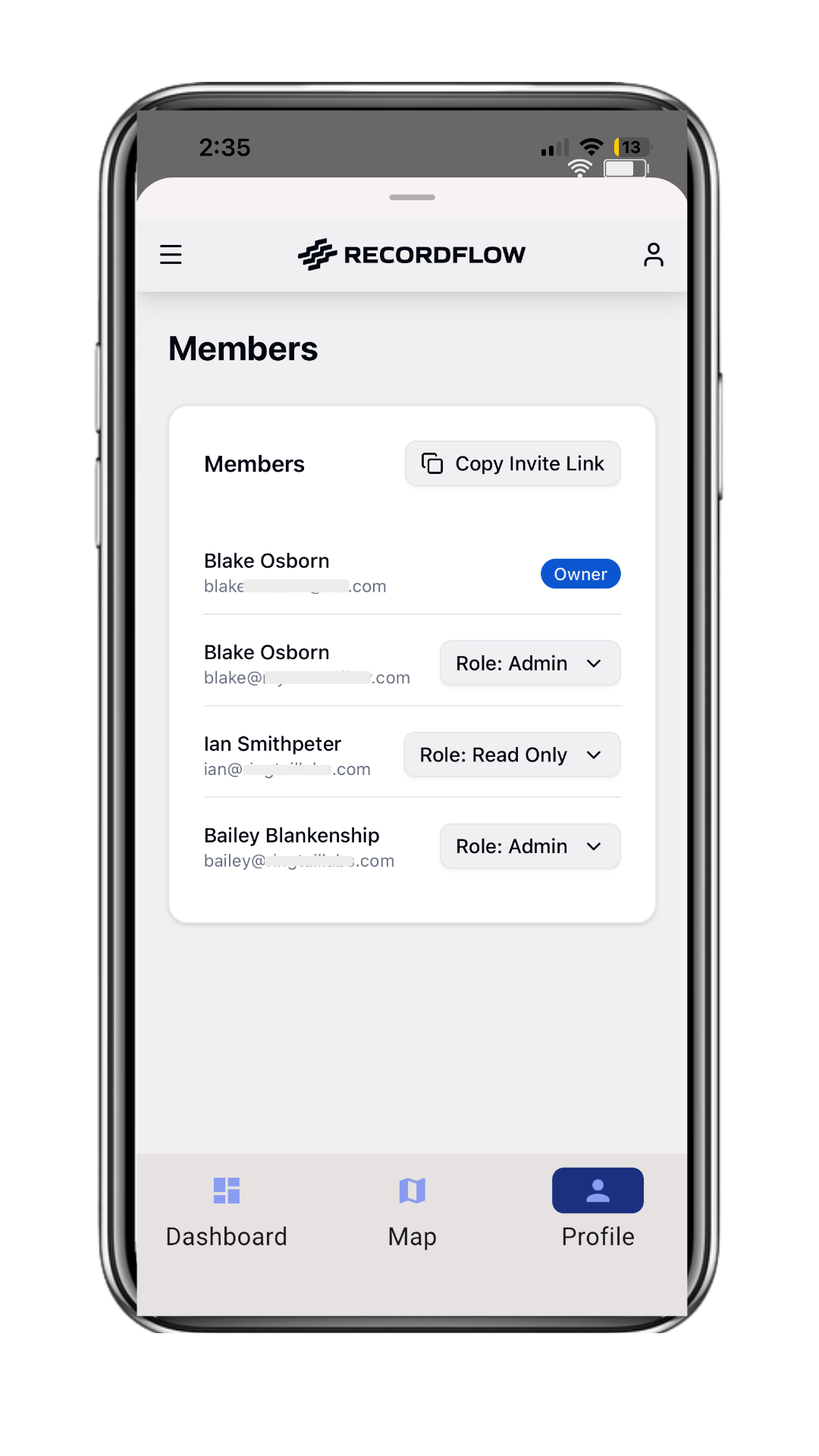
It is your data. You decide who can see it, edit it, or export it. US-based hosting and support, and no one sells your water information.
Large organizations cut duplicate data entry and get field information in minutes, not hours. Individuals get an affordable plan that needs no expertise and no special hardware.
Hardware · FlowSENSE
Readings that show up before you do.
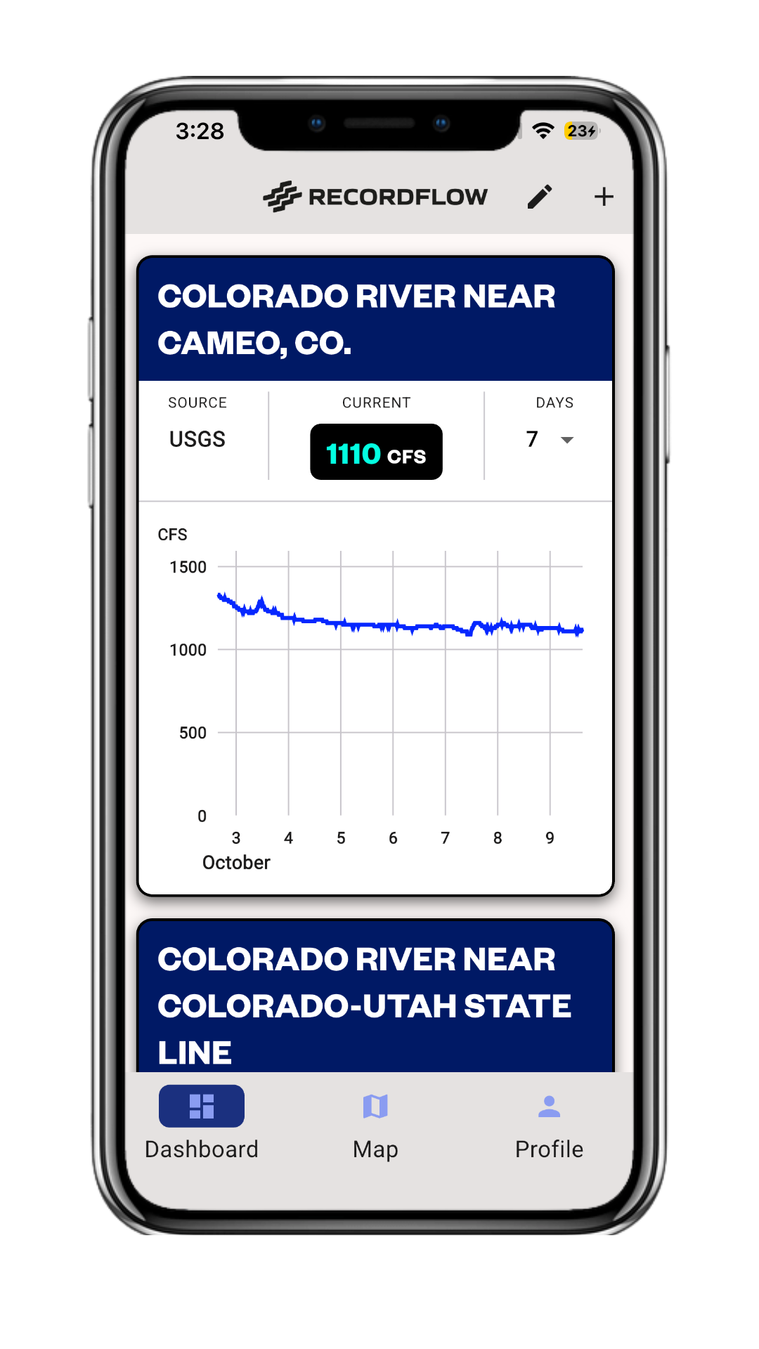
FlowSENSE is our field-tested and purpose-built water level sensor for ditches and canals. Install it at a flume or headgate and water levels and flows post straight to your RecordFLOW dashboard. Pair it with real-time river levels in Colorado and you have the whole picture on one screen.
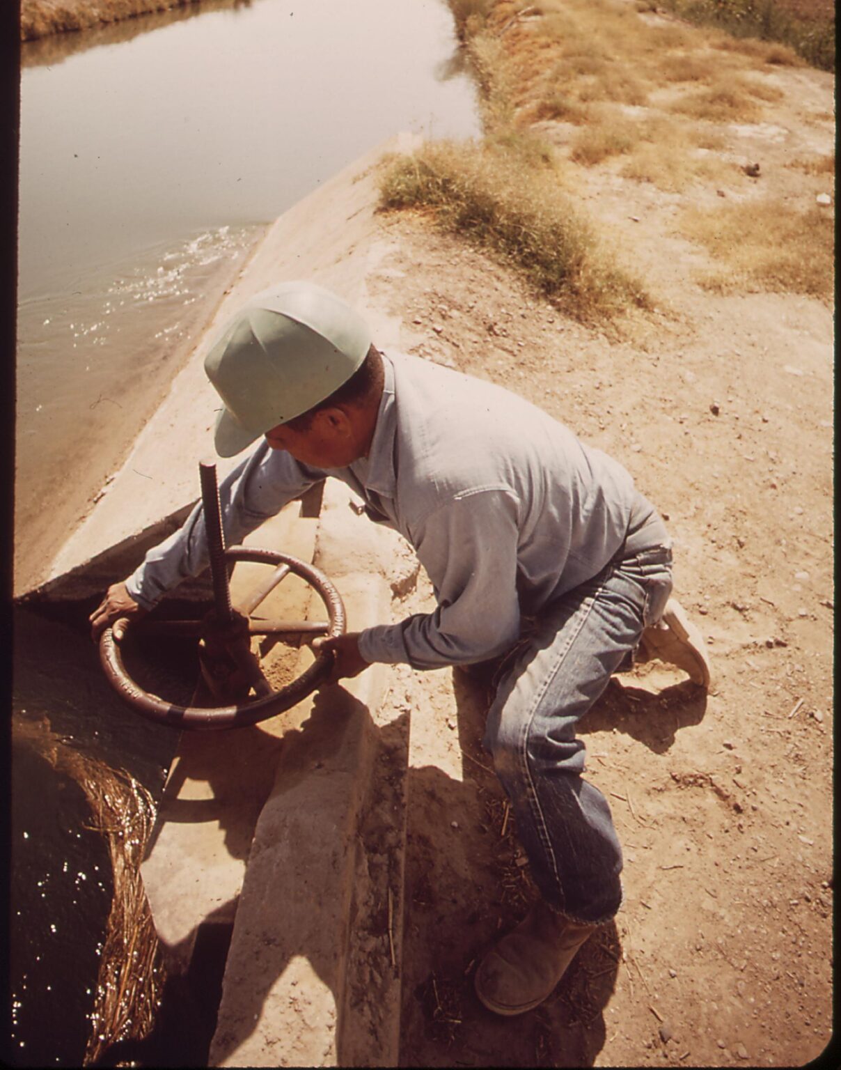
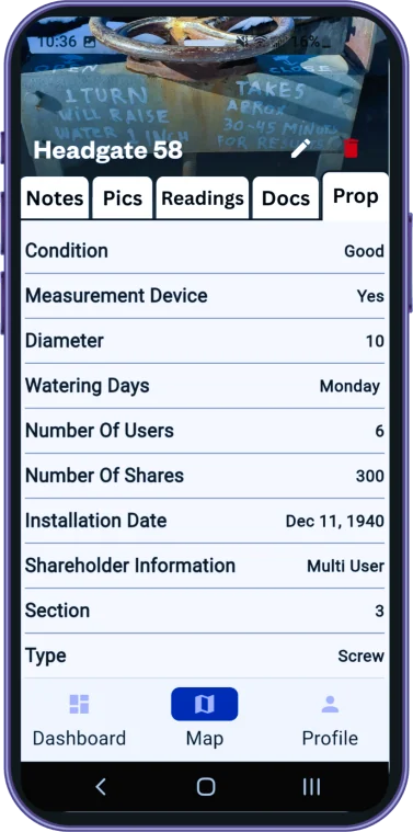
Every gate turn is a decision. RecordFLOW keeps the reading, the photo, and the reason, so the next water manager understands why the system runs the way it does.
“1 turn will raise water 1 inch.” Notes like these used to live on the headgate. Now they live in the record.
Get started today
Ready to start your free trial?
Keep your water information private, improve your operations, and protect your water rights. Seven days, no card required, cancel anytime.
$49/year
Plans start here
7 days
Risk-free trial
US
Based support, Colorado
Start your risk-free trial
Create your account at app.myrecordflow.com. Have a question first? Send us a note and a water manager will reply.
Don’t see yours? Send us a note and a water manager will answer.
Does RecordFLOW work in the field, without cell service?
Yes. Readings, photos and notes are saved on your phone or tablet and sync automatically the next time you have a connection. Simply download the ReocrdFLOW App from the Google Play or iPhone app store.
What does it cost?
Plans start at $49/yr. Larger volume plans are priced by the number of users and the features offered.
Who owns my data?
You do. You control who can view, edit or export it. You can invite others to join your account and easily set permission levels.
Do I need FlowSENSE hardware to use RecordFLOW?
No. RecordFLOW runs on the phone, tablet or computer you already have. FlowSENSE is optional for sites where you want readings to arrive automatically.
Do I have automatic access to Colorado River levels?
Yes, every account can design a custom dashboard with public river flow data in Colorado.
What happens after the 7-day trial?
Your plan will automatically activate and any data or mapping will stay with you.